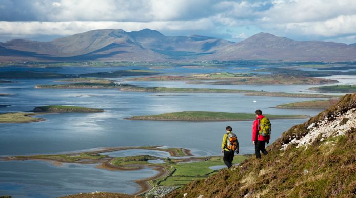
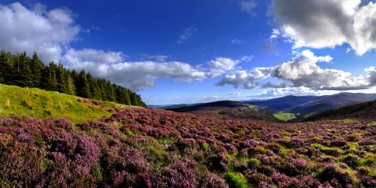
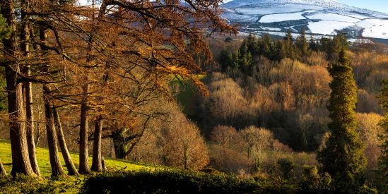
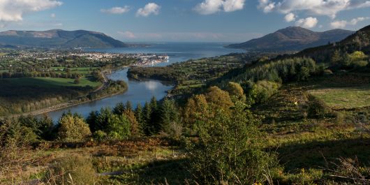
The Wicklow Mountains in East Ireland

East IrelandWalking and Biking

East Ireland Hiking & Biking Trails Regional Picks

With a stunning, varied landscape and approximately half the rainfall of the west coast, Ireland's East is a dream for visitors who want to get outdoors. The 15 counties that make up this region are peppered with charming towns and villages which all have the great outdoors right on their doorstep. And, within just 30 minutes, even those driving from Dublin can be surrounded in Irish greenery. So, whether you're setting of on two feet or two wheels, use this page to start planning your big day out in Ireland's Ancient East.

Hiking on Croagh Patrick

Part 1 Walking and Hiking Trails

The East of Ireland is peppered with a great mix of walking and hiking trails to suit all abilities. Here are a few of the region's best spots for walkers exploring Ireland's landscape for the first time.

Wicklow Mountains National Park

There are numerous, colour-coded, walking trails found within Wicklow National Park. Maps of all trails are available outside the National Park Information Office. The durations of these walkways vary from 30 minutes to 4 hours.

Wicklow Mountains, County Wicklow
Visitor Info

Howth Cliff Path Loop Walk

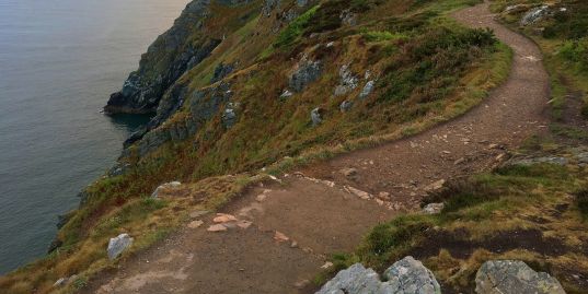
Just 30 minutes' drive from Dublin, the well-signed Howth Cliff Path conveys visitors around the rugged clifftops of the Howth Peninsula. The relatively flat terrain and a well marked pathway throughout allows easy access to family members of all ages.

Howth Cliff Path Loop Walk, County Dublin

Drivers can park near Baily Lighhouse, but a more pleasant afternoon's walking would start and finish near the harbour. Parking is available on Harbour road. A public transport option is to use the local DART rail service to Howth DART station.

From here, your walk takes you to the Nose of Howth, along the coastline south to Baily Lighthouse, then Drumleck Point and westward to a Martello Tower before bringing you back inland around Sheilmartin Hill and Ben of Howth. A stop off at Howth Castle would be a detour but a pleasant one.

Visitor Info
  • Difficulty: 2 / 5
  • Distance: 6 miles
  • Estimated time: 3 hours
  • Ascent: 790ft

Great Sugarloaf

For any group with a good level of fitness and mobility, the steep climb to the summit of Great Sugarloaf offers the prospect of a great afternoon out and some truly incredible views.

There are two main routes to the top. Approaching from the east, a pleasant but demanding two- to three-hour circuit starts and finishes at Kilmacanoge GAA pitch. Those more pressed for time may prefer to approach from the south, starting and finishing at the main Sugarloaf carpark for a straight up-and-down following the main path. For this shorter climb, you'd still want to allow 60–90-minutes.

Sugar Loaf Mountain, Ireland
Visitor Info
  • Difficulty: 3 / 5
  • Distance: 3 miles
  • Estimated time: 2.5 hours
  • Ascent: 1250ft

Mullaghcleevaun

This rewarding ascent up County Wicklow's second highest mountain offers stunning views over Cleevaun Lough and is suitable for most walkers with a good level of fitness and mobility. Steep climbs are unavoidable on this enjoyable out-and-back route.

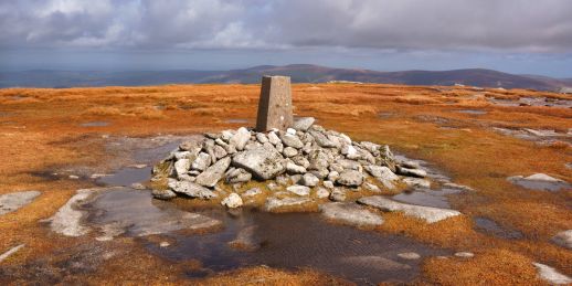
Mullaghcleevaun Mountain summit

Driving south from Sally Gap, park up shortly after the Inchavore Trail, where an opening/junction on the right joins the Old Military Road to a gravel track with spaces for a few parked cars (visible with Google Maps satellite view). Make a bracing climb up the nearby Carrigshouk before linking up Mullaghcleevaun East Top and Mullaghcleevaun beyond. At the summit, a trig point marks the culmination of your ascent to 849m. Stop here for a flask of hot tea or a dram of warming Irish whiskey!

Visitor Info
  • Difficulty: 4 / 5
  • Distance: 5-6 miles
  • Estimated Time: 4 hours
  • Ascent: 1,870 feet

Loughcrew Cairns Hill Walk

A short, scenic walk of moderate difficulty running up Loughcrew Hill in County Meath. As you near the summit, catch your breath by turning to pause and take in the panoramic views across County Meath and into Counties Westmeath and Cavan beyond.

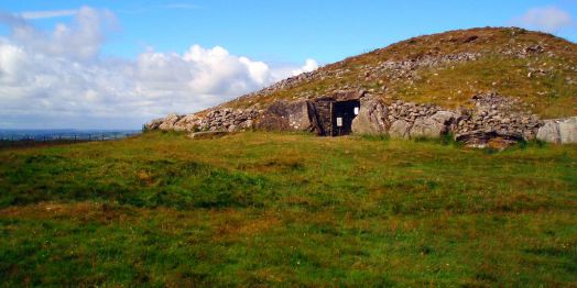
At the top, you will find a series of well-preserved ancient neolithic burial chambers that seem to reach skyward from their hilltop location. The burial chambers date back to 3300BC and feature stone carvings as well as rock paintings.

Loughcrew Cairns

Those looking to connect with the spirituality of this ancient site will be struck by how much quieter it is than Newgrange, its more tourist-friendly cousin.

Visitor Info
  • Visit Webpage
  • Hill climb, rural Irish landscape, Neolithic monuments
  • Estimated time: 1 hour

Luggala and Knocknacloghoge

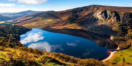
A photographer's dream route links up the two most iconic loughs in Ireland's east on a walk that is well worth the demanding 7.5 miles.

Lough Tay

For a convenient start and finish at the "Pier Gates", you might choose to park in Ballinastoe Cap Park, but a couple of smaller parking bays are also available slightly closer if they're not already full. Make for Luggala first before heading south to Knocknacloghoge. Then descend to the shoreline of Lough Dan before tracing the Cloghoge River back toward Lough Tay and your start point.

Visitor Info
  • Difficulty: 4 / 5
  • Distance: 7.5 miles
  • Estimated Time: 5-6 hours
  • Ascent: 2,560ft

The Spinc Loop

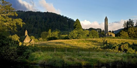
An ancient monastic settlement, Glendalough (meaning: Valley of the Two Lakes) presents today's visitors with a chance to walk not only through the idyllic hills of Ireland's East, but also through the rough-hewn landscapes of ancient Irish history.

Glendalough

Starting and finishing at the visitor centre, a pleasant four hours along the clifftop paths will circumnavigate the upper lake while giving you a tour of some of Ireland's most idyllic scenery. Manageable for most able-bodied walkers with a reasonable level of fitness.

Visitor Info
  • Difficulty: 3 / 5
  • Distance: 7 miles
  • Estimated Time: 4 hours
  • Ascent: 1,310ft
Cycling in Ireland

Part 2 Family-friendly Bike Trails

East Ireland has an extensive greenway system and a wealth of parkland with designated cycling routes, making this region a dream for families looking for a healthy, eco-friendly way to explore Ireland's rich landscape.

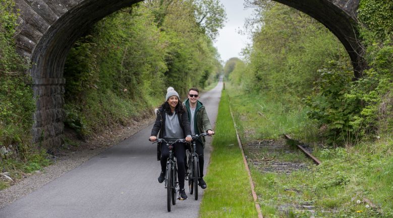
Carlingford Greenway

A six-kilometer greenway which follows a disued railway line along the southern shore of Carlingford Lough between Omeath and Carlingford village. Cycle hire is available at the start of the greenway and there are public toilets on site. Bring coins for the carkpark.

Carlingford Greenway

Royal Canal Greenway (Clondra to Longford)

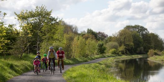
This 16-kilometer path follows a spur of the Royal Canal and is used by walkers as well as cyclists. The route links Clondra and the River Shannon to Longford Town by following the route of the main canal, and the a spur of the waterway which leads to Longford itself.

The full Royal Canal Greenway is still being completed. The full route will eventually run all the way from Dublin to Mullingar.

Royal Canal Greenway Cycling

This map marks the start of the Royal Canal in Clondra (also spelt Cloondra). A great spot to begin your journey.

Donadea Forest Park

Families and nature-lovers will love this five-kilometer cycling route which loops an idyllic 250-hectare woodland near Maynooth in County Kildare. Pause for pictures at the ancient ruins on site, and for reflection at the 9/11 memorial.

Donadea Forest Park
Visitor Info

www.donadeaforest.com

Lough Boora Discovery Park

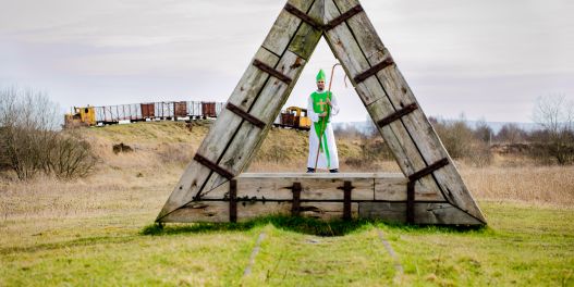
Over 50km of pathways now intersect the site of what was once a 2000 hectare commercial bog. Today it is home to a sculpture park, providing plenty of welcome distraction as family groups navigate the three main paths which are designated for cyslists. Bike hire available at the visitor centre, with a range of bicycles to suit children and adults.

Lough Boora Discovery Park in Co. Offaly
Visitor Info

www.loughboora.com

Phoenix Park

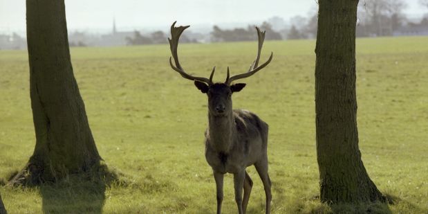
As well as being home to an extensive network of cycle routes, Europe's largest enclosed public park is home to the Irish President's official residence, the abode of the American ambassador, and an impressive herd of over 500 wild deer. Although the park is huge, it is difficult to get lost, making this a fantastic place for families to explore together.

Bike hire is available at the south-eastern corner of the park, by the courts of justice.

Deer in Phoenix Park
Visitor Info

www.phoenixpark.ie

Tolka Valley Greenway

A 4km off-road walking and cycling route linking Glasnevin, Cabra, Finglas and Ashtown on Dublin's northside. This location may not draw crowds like Phoenix Park does but, if you're in the area, it is well worth a visit and is much quieter than its larger sibling 5km to the south.

Tolka Valley Park
Visitor Info

www.dublincity.ie

Avondale Forest Park

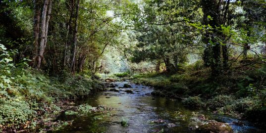
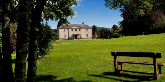
Situated just south of Rathdrum, the site of Avondale House (currently closed to visitors) is home to a wealth of stunning forestry (Sequoia, Spruce and broadleaves), intersected by various multi-use trails.

Avondale House in Wicklow
Visitor Info

www.coillte.ie