- info@myirelandtour.com
- (US / Ca) 011 353 21 237 9006
- (EU) 00 353 21 237 9006
Ireland Tours
- Iconic Scenes Collection
- 6-Day Iconic Scenes of Ireland
- 8-Day Iconic Scenes of Ireland
- 10-Day Iconic Scenes of Ireland
- 14-Day Iconic Scenes of Ireland
- Luxury Tours Collection
- Deluxe Irish Castles Tour
- Ancient Ireland & Scotland Tour
- Ancient Ireland Tour
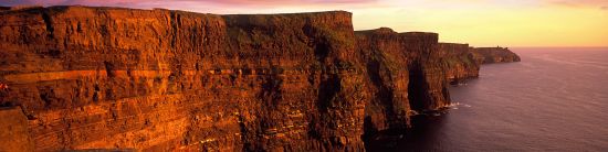
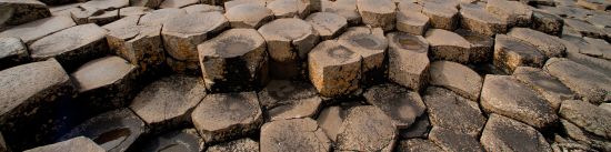
- Northern Ireland
- Discover Northern Ireland
- See all tours
Britain & Ireland Tours
Arrange a Private Tour
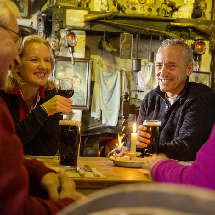
About us
About shared tours
Destinations
Culture & History
Activities & Interests