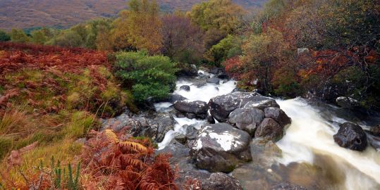
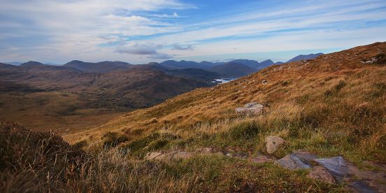
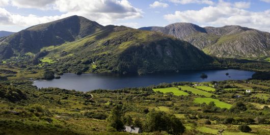
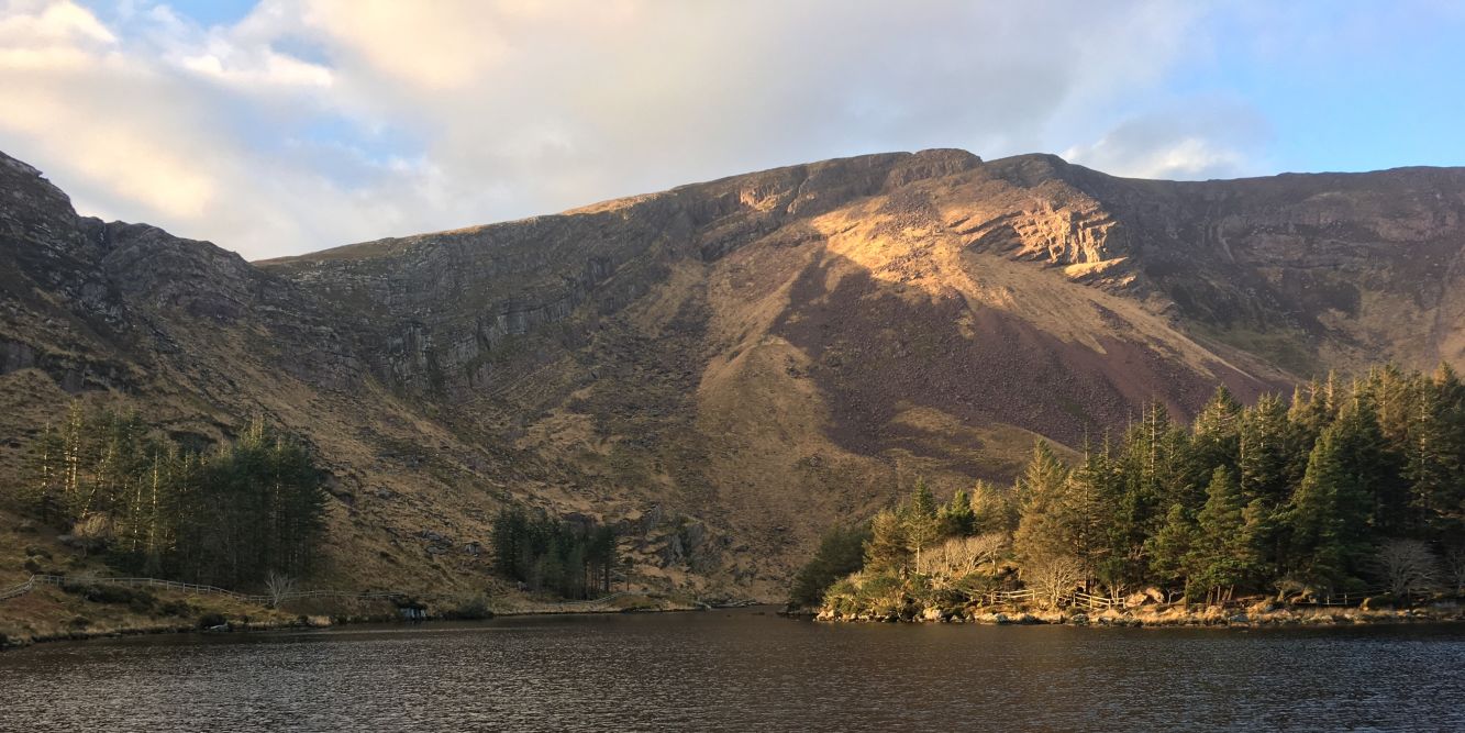
Torc Mountain, County Kerry

South West IrelandWalking and Biking

South West Ireland Hiking & Biking Trails Regional Picks

With a mountain range running across the border of counties Cork and Kerry, a huge Atlantic Coastline and a plethora of disused railway lines and trails, the Southwest of Ireland is a dream come true for all your hiking and biking needs.

Carrauntoohil Mountain, County Kerry

Part 1 Walking and Hiking Trails

The South West of Ireland is home to some of the country's most scenic walking and hiking routes. From the rugged terrain of the Cork and Kerry mountains to the tranquil surroundings along the Beara Peninsula, there's a trail to suit every ability.

Slieve Mish

With spectacular views over Derrymore Glen and across the Dingle Peninsula, Slieve Mish is a fantastic walking spot without being too busy. The end of this lane near Derrymore Bridge provides the ideal start/finish point for those looking to head south from the coast and ascend to some of the highest peaks in the region.

Head south west for Gearhane and follow the ridgeline to link up with Caherconree and Baurtrgaum. From there, loop around the deep corrie and follow the narrow ridge toward the north east and your finish point. An experienced walker should finish the seven miles in under six hours.

Slieve Mish Mountain, South West Ireland
Visitor Info
  • activeme.ie
  • Mountains, Lakes, Sea Views
  • Estimated time: Various

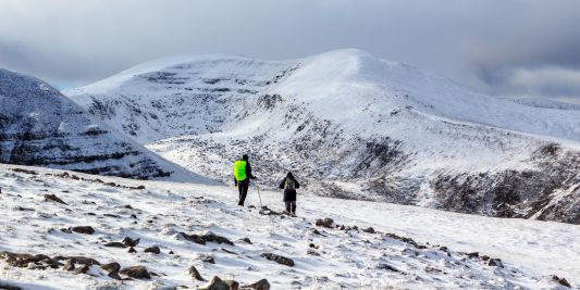
Carraunoohil

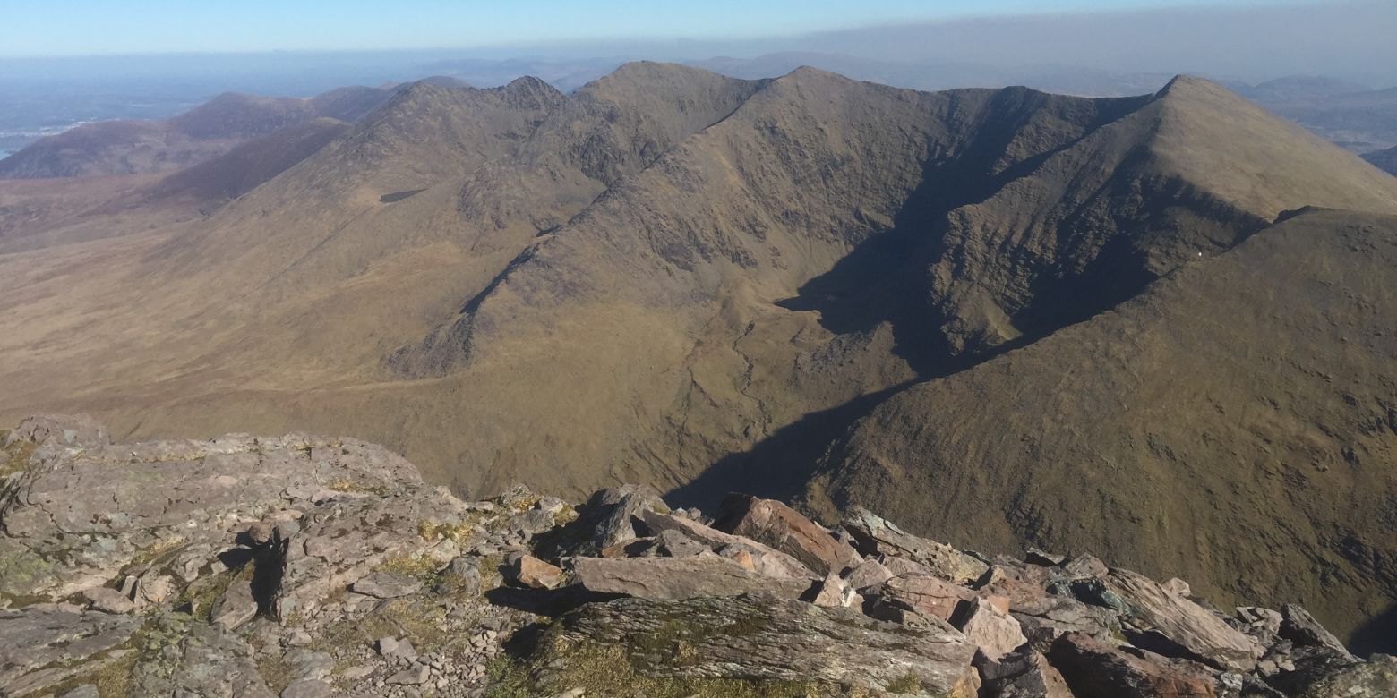
Ireland's highest mountain is also perhaps its most difficult to ascend: Carrauntoohil is protected on all sides by precipitous slopes and towering crags. Inasmuch as paths exist, they are narrow, rocky and flanked on both sides by sheer drops. The total ascent is a chastening 1200m. In short, this is not a walking route to be undertaken by novices or anyone who does not have the right gear, map, nutrition etc.

For those who do make the ascent, the views are truly spectacular. Park up in the Carrauntoohil / MacGillicuddy Reeks Public Carpark and follow the concrete track until you cross Cottoner's River. Continue south to join the ridgeline ascent toward Caher West, then Caher and finally Carrauntoohil before the second half of the horseshoe carries you down to Beenkeragh and Skregmore. A very rewarding seven hours for an experienced hiker.

Carraunoohil, County Kerry
Visitor Info
  • Woodlands, Lakes, Mountains
  • Estimated time: 4 to 6 hours

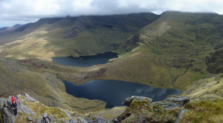
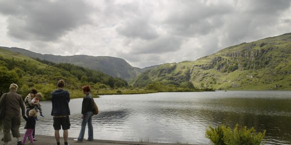
Coomasaharn Lake

Coomasaharn Lake is one of five glacial loughs left behind after the last ice age. Each lake forms the focal point of its own coum: this is a dramatic landscape of high cliffs towering over deep, brooding corries below. There are various routes and walkways available, but a circular route around Coomasaharn Lake is perhaps the most obvious, encompassing the summits of Knocknaman, Meenteog, Coomacarrea and Teermoyle Mountain.

Coomasaharn Lake in County Kerry
Visitor Info
  • Countryside, Lakes, Hills
  • Estimated time: 4 to 5 hours

Gearhameen and Loughduff

A charming and wild area where you can get away from the busier slopes of The MacGillycuddy's Reeks and escape into the silence of this idyllic Co. Kerry landscape. Park up in the lay-by just north of the concrete bridge and follow the road south on foot before passing through the metal gate on your left, just after the bridge. Shortly after Lough Reagh, head west toward the ridgeline and ascend to follow the horseshoe all the way round Lough Duff.

About 1km after Stumpa Dulaigh, look out for a grassy pathway on your left as it picks its way through the crags on the north side of the ridge. At the bottom, rejoin the River Gearhameen as it guides you back to where you began the day's adventures.

Coomasaharn Lake in County Kerry
Visitor Info
  • Rivers, Lakes, Mountains
  • Estimated time: Various

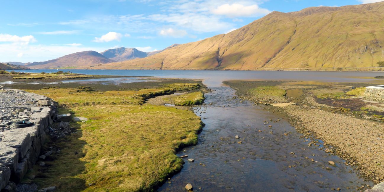
Torc Mountain

A relatively accessible walk that celebrates all the best features of Ireland's inland landscapes, including a mature native woodland, a stunning panorama over the Killarney lakes, and the 12m high Torc Waterfall. To reach the summit of Torc Mountain, the 490m ascent is unavoidable. But most walkers will associate views like this with a much tougher day's hiking and most able-bodied enthusiasts should manage the climb.

For a pleasant four hours, park up at the carpark near Torc Waterfall and follow the Owengariff River until it joins the Kerry Way. At that point, begin your ascent up Torc Mountain from the south.

Torc Mountain in County Kerry
Visitor Info
  • Countryside, Lakes, Mountains
  • Estimated time: 2.5 hours

Cummeengeera

A rugged five-hour exploration of an imposing landscape offers views over Glanmore Lake while encircling the dramatic Cummeengeera corrie. Seven miles of walking will see 900m of total ascent around a ring of peaks, each around 600m in altitude. Park up here on the lane at the base of the Cummeengeera Valley before heading on foot toward the farmhouse. Here, for an entrance fee of a few euro, you can see the Shronebirrane Stone Circle before heading north up the slope and following the ridge west to Tooth Mountain. From the summit, follow the sweeping horseshoe shape of the ridge to Coomacloghane, Eskatarriff and Lackabane, whose descent will return you to the lane where your journey began.

Cummeengeera in County Kerry
Visitor Info
  • Countryside, Lakes, Mountains
  • Estimated time: 2.5 hours
Cycling in the Beara Peninsula, Ireland

Part 2 Family-friendly Bike Trails

The bike trails found in the Southwest of Ireland are bursting with character and stunning scenery. From greenway systems running along disused railway lines to trails that loop around the harbours of fishing villages, the Southwest is a haven for peddling through without a care in the world.

Carrigaline to Crosshaven Greenway

A straightforward but charming 5km cycle path running along the southern shore of the Owenabue River. Be warned that this quite narrow trail is also popular with walkers. At busier times, some slow and cautious manoeuvres may be called for where pedestrians impede progress. Allow approximately one hour.

Carrigaline to Crosshaven Greenway

Gougane Barra Forest Park

Covering an area of over 400 hectares (1,000 acres), Gougane Barra was Ireland’s first National Park when it opened to the public in 1966. In addition to various trails within the park itself, there are marked trails from this location to Kenmare and Killarney, Cork City, Bantry and the Sheep's Head, and the Beara Peninsula.

Gougane Barra Forest, County Cork
Visitor Info

gouganebarra.com

Muckross Lake

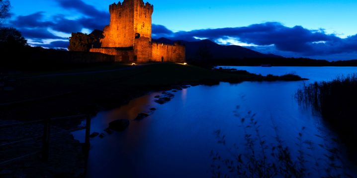
A popular family cycle route around this stunning lake covers six miles and takes about an hour for a group with children cycling. As well as man-made structures like Muckross Abbey, Muckross House and Brickeen Bridge, look out for the native and rare Kerry Cow in the nearby fields and even the last remaining herd of red deer in Ireland.

Ross Castle, County Kerry

Anascaul and Inch Beach

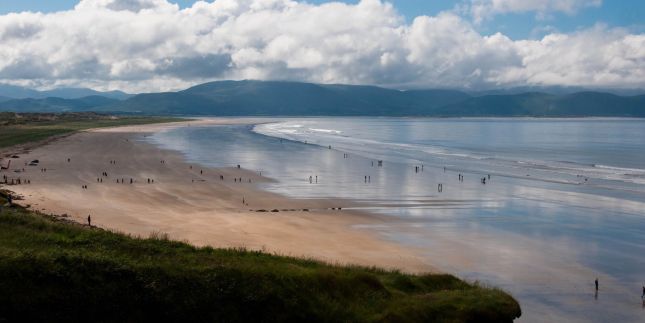
If you have arrived without your bikes, then Annascaul Bicycle Hire in the picturesque village of Annascaul will be your first stop of the day. Secondary and tertiary roads in this area are very quiet and you will be mostly undisturbed if you choose to cycle on them. Another option is to head for Inch Beach where the sand is hard packed and easy to cycle on. You will even see cars parked on the sand it's so firm!

Inch Beach, County Kerry

Glanteenassig Forest Park

This idyllic setting is the perfect place for a family looking to get away from it all for the day. In addition to the 8km gravel track (also used by cars) which loops the site, there are three waymarked trails. If you're looking to extend the day, why not cycle on to the sandy beaches at Castlegregory just 6km away?

Glanteenassig Forest Park, County Kerry